Flycom Technologies– GMS GIS for Insurance and Flood Mapping Module
Start-up of the Month: Flycom Technologies
May 2019
Organisations are processing large amounts of data each day and almost all of it has a geolocation component. Flycom Technologies wants to bring advanced GIS and location-based functionalities to the fingertips of everyday business users. In light of this mission, the team has developed GMS-GIS for Insurance.
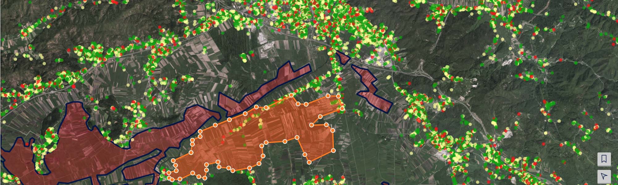
Insurance has a strong geographical component. Geospatial data is critical in a variety of insurance segments. One of the most devastating events addressed by Flycom’s solution is floods. During the last five years, Europe has suffered over 100 major flood events, resulting in approx. €6bn of annual damage in 2016 alone. By using Sentinel-1 and Sentinel-2, the inventors are helping insurance companies and communities to manage flood risk, assess losses and coordinate teams after flooding events by identifying waterlogged areas in relation to individual policy location.
Through geospatial algorithms, remote sensing data and advanced algorithms, Flycom Technologies has brought state-of-the-art tools, which were previously only available to experts, to everyday business operations in the insurance sector.
Flycom Technologies is a Slovenian based company working in remote sensing and software engineering. Through various projects, from large scale aerial mappings to custom web-based GIS solutions, the team obtained expertise in a wide range of spatial applications. With the help of Copernicus data and Copernicus Accelerator, Flycom starts introducing new satellite-based products to its clients.